


-
About
-
Product
-
Solution
-
Support
-
News
-
Join
About
Product
Solution
Support
News
Join

 PubDate:2026-07-30
 ViewNum:233
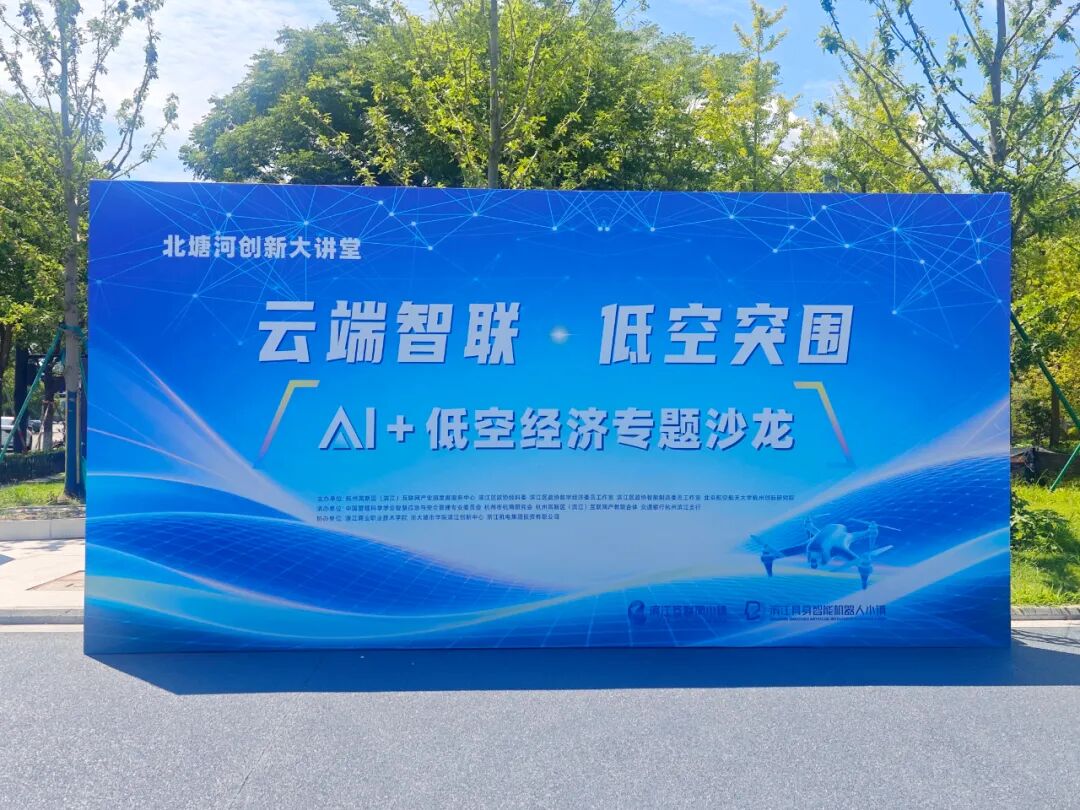
On July 29, the Beitang River Innovation Lecture Hall themed “Smart Cloud Connectivity · Breakthrough in Low‑Altitude Economy” — an AI + Low‑Altitude Economy Themed Salon, co‑hosted by the Development and Service Center of Hangzhou High‑Tech Zone (Binjiang) Internet Industrial Park, Beihang University Hangzhou Innovation Research Institute and other organizations, was held at the Beitang River Innovation Center.
Shallow-sea Technology was invited to the low‑altitude‑scenario exhibition. It showcased five core low‑altitude meteorological detection devices at the exhibition area. Leveraging refined three‑dimensional meteorological sensing technology, the company delivers robust technical support for low‑altitude flight safety and UAV observation systems.
At the exhibition site, Qianhai Technology displayed five low‑altitude meteorological detection devices, namely the Integrated Mini Weather Station (SMS‑1000), 3D‑Scanning Laser Wind Radar (SLWR‑3D‑20k), Vertical Laser Wind Radar (SLWR‑1k), All‑Sky Automatic Imaging System (SCI‑100), and 3D Wind Speed‑Direction Anemometer (SUW‑3D). These devices form a complete low‑altitude meteorological sensing system featuring “comprehensive ground‑based monitoring + 3D stereoscopic wind‑field scanning + all‑sky cloud condition observation”.
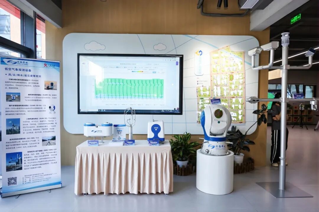
Among them, the 20 km 3D‑Scanning Laser Wind Radar and the All‑Sky Automatic Imaging System conducted real‑time online data monitoring simultaneously. Continuous observation data including surrounding low‑altitude 3D wind field, cloud type, cloud cover and cloud‑base height were scrolled in real time on the screen, intuitively demonstrating the dynamic variation of the atmosphere from near‑ground level up to several kilometers in low‑altitude airspace.
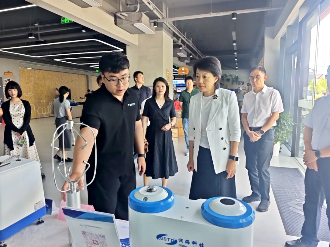
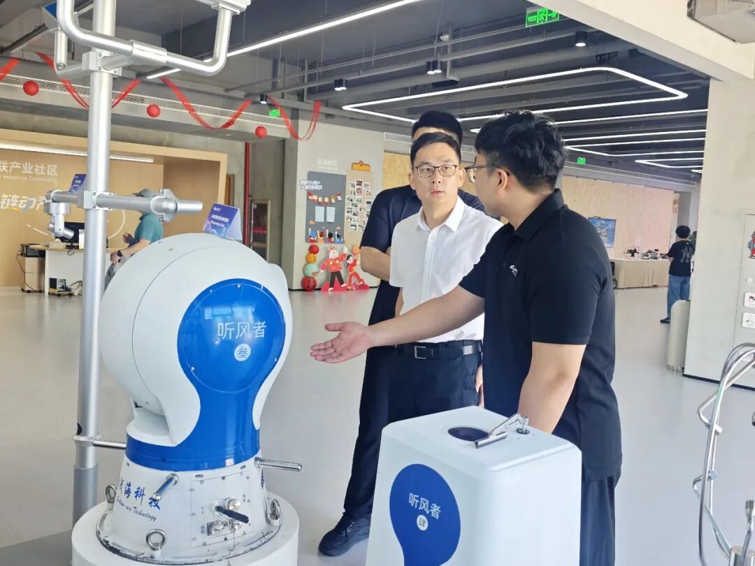

Against the current backdrop, new‑business formats such as swarm‑UAV three‑dimensional observation, urban low‑altitude logistics and eVTOL manned flight are being rapidly rolled out. The low‑altitude atmospheric environment is complex and volatile; wind‑field disturbances, cloud layers and abrupt changes in temperature and humidity can easily trigger flight risks. Refined, three‑dimensional and continuous meteorological monitoring has become an essential guarantee for the large‑scale development of the low‑altitude industry. Previous full‑process three‑dimensional observation experiments on swarm UAVs during typhoons in China have fully verified that multi‑dimensional synchronized meteorological data constitutes the core foundation for safe UAV operations and accurate detection under extreme weather conditions.
Shallow-sea Technology has many years of expertise in the meteorological detection sector. Targeting scenarios such as UAV flight assurance, atmospheric boundary‑layer observation and three‑dimensional detection under extreme weather, the company continuously iterates lightweight, high‑precision integrated meteorological equipment. Suited for multiple deployment modes including long‑term monitoring at fixed stations, mobile ad‑hoc observation and UAV‑borne collaborative detection, its offerings can deliver a full‑domain meteorological sensing infrastructure for airspace management authorities, as well as end‑to‑end observation solutions for meteorological research, low‑altitude‑industry enterprises and emergency‑response support projects.
This exhibition has also built an efficient communication bridge for Qianhai Technology to connect with local research institutions, leading low‑altitude‑industry enterprises and functional government departments, laying a solid foundation for future cooperation including airspace meteorological monitoring projects, supporting observation for swarm UAVs, and the joint laboratory for low‑altitude safety.
Going forward, Qianhai Technology will continue to focus on the integrated development trend of AI + low‑altitude economy, constantly upgrade its three‑dimensional meteorological detection hardware and software products, and deepen collaborative innovation with Beihang University Hangzhou Innovation Research Institute and low‑altitude‑industry chain enterprises in the district. With professional meteorological sensing technologies, the company will strengthen the safety line of defense for low‑altitude flight and support Binjiang District in building a nationally leading industrial highland for the integration of artificial intelligence and low‑altitude economy.
 Next:Chasing Winds, Safeguarding Security with Precision | Shallow-sea Technology Provides Emergency Meteorological Observation Support for Typhoon Bavi




 WeChat
 T1-11F, Herui Science and Technology Park, Binjiang District, Hangzhou City, Zhejiang Province


